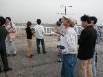
 2. Meeting, discussion and information exchange
We often meet and discuss meteorology from all aspects. These discussions
are very informative because we exchange information with each other.
These discussions also include information exchange on natural disasters
and cover everything from human lives, housing and even transportation.
3. Study, research and forecasting
(1) Short term weather forecasting:
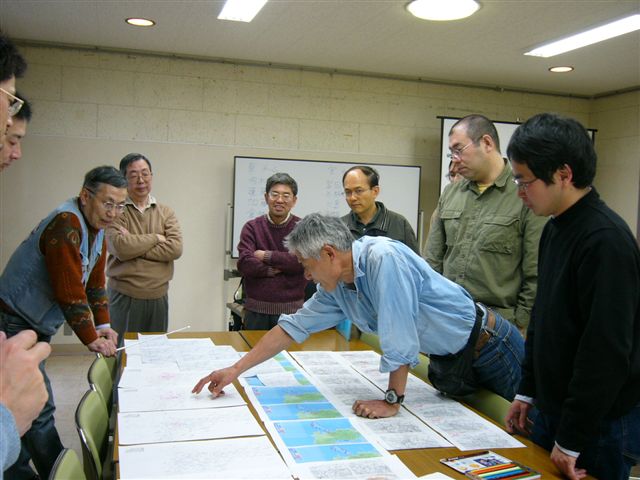
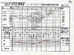
Almost every month meetings are held at many CAMJ branches for training using
actual weather maps, satellite images, and even radar charts.
 (2) Long range weather forecasting:
Our CAMJ members study the data and information that is given to use by JMA
in order to better understand long range weather forecasting.
(3) Sea Wave forecasting:
Our members also study ocean currents and learn how to predict wave levels.
4. Observations
(1)We observe the wind which is called "Hijikawa-Arashi" at Shikoku island.
(2)Cherry Blossom Front observation:
Every year Japanese people look forward to the first blooming of the cherry
blossom trees. Our group enjoys observing and viewing throughout various
locations in Japan from March to the early part of May.

 We Japanese chase after the front line as the monarch butterflies migrate
after wax flowers' blooming from Mexico to Canada every year.
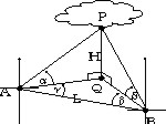
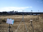
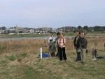
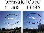
(3)We watch and enjoy the changes and shapes of clouds. We even have a cloud
chaser club. In this club we measure the elevation angle and azimuth
(horizontal angle) of a specific cloud from two observation points in order to
determine (calculate) the height of the cloud. The results are compared with
the METAR at the nearest airport.
 5. We enjoy observing the "Earth shadow" around the times of sunrise and
sunset.
Anyone who wishes to join these events is more than welcome to. Here is a
Calendar on events in Japanese.
Previous Top
Contact us